Introduction to Nigeria’s Mapping Projects
Embark on a cartographer’s journey through Nigeria’s Top Mapping Projects, unveiling the remarkable landscapes, innovations, and stories behind each endeavor.
Importance of mapping
Mapping plays a crucial role in understanding and navigating our world.
It provides accurate geographical information that aids in decision-making processes.
In Nigeria, mapping projects hold special significance due to their ability to contribute to the country’s development.
Overview of the significance of mapping projects in Nigeria
These mapping projects have a wide range of applications and benefits.
Firstly, they play a vital role in infrastructure development. Precise mapping data helps in designing and constructing roads, buildings, and transportation networks.
This allows for proper planning and development of urban areas, easing traffic congestion and improving public transport systems.
Additionally, mapping projects contribute to effective resource management.
Geographical information helps in identification and conservation of natural resources such as minerals, forests, and water sources.
It enables sustainable development practices and ensures the preservation of Nigeria’s rich biodiversity.
Moreover, mapping projects are crucial for disaster preparedness and response.
Accurate mapping data aids in predicting and mitigating natural disasters like floods, earthquakes, and outbreaks.
This helps in formulating effective emergency plans, saving lives, and minimizing the impact of such calamities.
Thesis statement: A cartographer’s perspective on Nigeria’s top mapping projects
From a cartographer’s perspective, Nigeria’s top mapping projects hold significant potential in shaping the country’s future.
They provide valuable insights into its geographical features, resources, and vulnerabilities.
This section will explore some of Nigeria’s top mapping projects and shed light on their impact on various aspects of the nation’s development.
Read: The History of Cartography in Nigeria: A Brief Overview
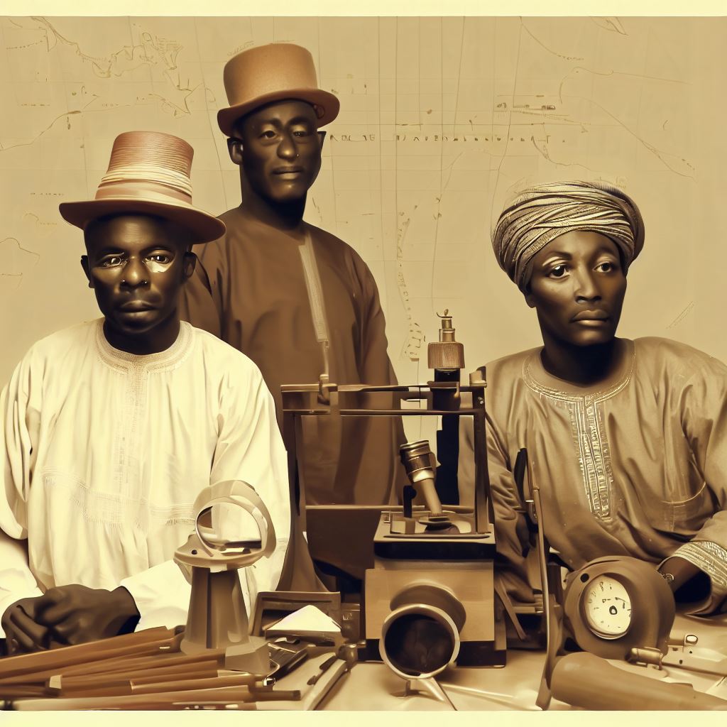
Historical Mapping Projects in Nigeria
Early Mapping Efforts in Nigeria
In the early days, mapping efforts in Nigeria were driven by the need for exploration and understanding of the land.
The indigenous populations of Nigeria had their own ways of understanding and representing their territories.
However, with the arrival of European explorers, a new era of mapping began.
These explorers, armed with new technological advancements, set out to map Nigeria and its surroundings.
Their maps not only documented geographical features but also provided crucial information about local cultures and resources.
Role of colonial powers in mapping the region
The colonial powers played a significant role in the mapping of Nigeria and its subsequent development.
The British, in particular, were instrumental in mapping Nigeria during their colonial rule.
Their primary motives were economic exploitation and maintaining control over the region.
Mapping the land helped them understand the resources available and exploit them efficiently.
It also allowed them to establish administrative control over the diverse populations living in Nigeria.
Notable historical mapping projects in Nigeria
Several notable historical mapping projects were undertaken in Nigeria that significantly shaped our understanding of the region.
One such project was the Sokoto Caliphate mapping expedition led by Heinrich Barth in the 1850s.
Barth’s detailed maps highlighted the trade routes and political boundaries within the Sokoto Caliphate.
In the early 20th century, the Nigerian Survey was established by the British colonial administration.
This survey produced detailed topographic maps of Nigeria and played a crucial role in urban planning and development.
Another significant mapping project was the National Remote Sensing Agency (NRSA) initiative in the 1970s.
The NRSA utilized satellite imagery to create detailed maps, aiding in agriculture, resource management, and disaster response.
In recent years, UNESCO has also initiated mapping projects in Nigeria to preserve and document cultural heritage sites.
These projects aim to create accurate spatial representations of historical sites for conservation and research purposes.
The use of modern Geographic Information System (GIS) technology has revolutionized mapping in Nigeria.
GIS enables the creation of multi-layered maps with diverse data sets, facilitating informed decision-making and sustainable development.
Furthermore, open-source mapping initiatives, such as OpenStreetMap, have empowered local communities to contribute to mapping efforts.
These initiatives have improved the accuracy and coverage of maps in rural and underrepresented areas.
In review, historical mapping projects in Nigeria have been crucial to the understanding, development, and preservation of the region.
From early exploration to the influence of colonial powers and modern technological advancements, mapping continues to play a vital role in Nigeria’s growth.
As we move forward, it is essential to ensure inclusive and participatory mapping practices that reflect the diverse perspectives and needs of all Nigerians.
Read: The Impact of Cartography on Nigeria’s Development
Modern Mapping Techniques and Technologies
Introduction of modern mapping tools and technologies
- Advancements in technology have revolutionized the field of cartography, making mapping more efficient and accurate.
- Modern mapping tools include computer software, mobile apps, and specialized devices for data collection.
- These tools enable cartographers to create detailed maps with greater speed and precision.
Geographic Information System (GIS) in mapping
- Geographic Information System (GIS) is a software tool used for capturing, analyzing, and displaying spatial data.
- It allows cartographers to overlay different layers of information onto a map, providing a comprehensive view of an area.
- GIS enables the integration of data from various sources, aiding in better decision-making and planning.
Remote sensing and satellite imagery applications in mapping
- Remote sensing involves acquiring information about an object or area without direct physical contact.
- Satellites and aerial images are used to collect data, which is then processed to create maps.
- Remote sensing allows cartographers to gather information over large areas and inaccessible terrains.
Importance of GPS in accurate and precise mapping
- GPS (Global Positioning System) is a satellite-based navigation system that provides real-time location information.
- It plays a crucial role in mapping by accurately determining the coordinates of specific points on the Earth’s surface.
- GPS enables cartographers to create highly accurate and precise maps, improving navigation and data analysis.
Overall, modern mapping techniques and technologies have greatly enhanced the field of cartography. The introduction of advanced tools and software has made mapping more efficient and accurate.
Geographic Information System (GIS) allows for the integration of various data sources, providing comprehensive and insightful maps.
Remote sensing and satellite imagery applications have expanded the scope of mapping by allowing access to remote and inaccessible areas. GPS plays a vital role in ensuring the accuracy and precision of maps.
These advancements have significantly improved decision-making, planning, and navigation abilities.

Nigeria’s Top Mapping Projects
National Spatial Data Infrastructure (NSDI) project
- The NSDI project plays a crucial role in collecting, organizing, and sharing geospatial data.
- By consolidating data from various sources, NSDI ensures the availability and accessibility of accurate information.
- One of the key achievements of NSDI is the creation of a comprehensive database for infrastructure planning.
- Through NSDI, Nigeria has been able to improve decision-making processes and resource allocation.
- NSDI has also fostered collaboration between different government agencies, leading to better coordination and development.
- With NSDI, the country has witnessed significant advancements in mapping techniques and technologies.
- NSDI has contributed to the growth of Nigeria’s geospatial industry, promoting innovation and economic development.
- Furthermore, NSDI has facilitated the integration of geospatial data in sectors such as agriculture, health, and transportation.
- NSDI has empowered various stakeholders, including researchers, planners, and policymakers, with reliable and up-to-date data.
- The project has also paved the way for the creation of user-friendly mapping applications to benefit citizens and businesses.
Exploration of the Nigerian National Mapping Agency (NIMA)
- NIMA plays a pivotal role in surveying, mapping, and charting activities in Nigeria.
- The agency is responsible for creating and updating topographic maps, nautical charts, and thematic mapping.
- NIMA’s accurate and detailed maps have contributed to national planning, infrastructure development, and defense.
- The agency has successfully implemented digital mapping technologies, improving the efficiency and accuracy of data collection.
- NIMA has bolstered Nigeria’s land administration system by providing reliable cadastral and boundary information.
- The agency’s work has been instrumental in supporting emergency response efforts during natural disasters.
- Through capacity-building initiatives, NIMA has trained professionals in geospatial sciences and mapping techniques.
- NIMA’s partnership with international organizations has further enhanced its capabilities and expertise.
- The agency’s work continues to play a crucial role in ensuring the sustainable development of Nigeria.
Analysis of the Niger Delta Environmental Survey (NDES)
- NDES is a significant mapping project that focuses on the Niger Delta region.
- It aims to provide comprehensive geospatial data for environmental planning and management.
- NDES has played a crucial role in mapping the region’s ecological resources, including vegetation and water bodies.
- The project has facilitated the identification of areas prone to pollution, enabling targeted environmental conservation efforts.
- NDES conducted an environmental impact assessment, highlighting the consequences of oil exploration and extraction.
- Through NDES, the environmental degradation caused by oil spills and gas flaring has been brought to light.
- The project has informed policy decisions aimed at mitigating the adverse effects of industrial activities.
- NDES has fostered community engagement, empowering local residents in environmental conservation and advocacy.
- The mapping project serves as a valuable tool for sustainable development planning in the Niger Delta region.
Read: Salary Insights: What Cartographers Earn in Nigeria
Challenges and Future Directions
Challenges faced in mapping projects in Nigeria
- Inadequate funding for mapping projects hinders their effectiveness and completion.
- Limited availability of reliable and up-to-date data poses a significant challenge to accurate mapping.
- Lack of skilled cartographers and geographers leads to a scarcity of expertise in mapping projects.
- Inadequate infrastructure, such as network connectivity and electricity, hampers mapping efforts.
Data accessibility and collaboration
- Improved data accessibility through open data initiatives can enhance mapping projects’ efficiency.
- Collaborating with government agencies and other stakeholders can ensure access to crucial data sources.
- Establishing partnerships with local communities can enable a more comprehensive and localized mapping approach.
- Embracing citizen science initiatives can encourage public participation and data contribution.
Introduction of emerging mapping technologies and their potential in Nigeria
- Geographic Information System (GIS) technology can enhance data analysis and visualization in mapping projects.
- Remote sensing technology, such as satellite imagery, aids in capturing detailed and large-scale information.
- Unmanned Aerial Vehicles (UAVs) can provide high-resolution imagery and assist in mapping inaccessible areas.
- Mobile mapping applications enable real-time data collection and crowd-sourced mapping efforts.
Recommendations for future mapping projects in Nigeria
- Prioritize adequate funding and resource allocation to ensure the successful completion of mapping projects.
- Promote the establishment of a centralized database for storing and accessing reliable and up-to-date spatial data.
- Invest in capacity building programs to address the shortage of skilled cartographers and geographers.
- Develop partnerships with international organizations to leverage their expertise and resources in mapping projects.
- Encourage the use of emerging mapping technologies to improve efficiency and accuracy in data collection and analysis.
- Foster collaboration between different stakeholders, including government agencies, local communities, and academia.
- Promote awareness and education about the importance of mapping for sustainable development and decision-making processes.
- Implement open data initiatives to enhance data accessibility and encourage public participation in mapping efforts.
Essentially, mapping projects in Nigeria face several challenges, including lack of funding, limited data availability, and shortage of skilled professionals.
However, through improved data accessibility, collaboration, and the adoption of emerging mapping technologies, the future of mapping in Nigeria holds great potential.
By implementing the recommended strategies and investing in capacity building,
Nigeria can achieve more accurate and comprehensive maps, leading to informed decision-making, sustainable development, and improved quality of life for its citizens.
Read: Professional Bodies for Cartographers in Nigeria
Conclusion
A recap of Nigeria’s top mapping projects:
- The Lagos Mega City Project: creating an accurate map of Africa’s largest city to aid urban planning.
- The NSIA Geographic Information System: mapping Nigeria’s infrastructure to support development initiatives.
- The Niger Delta Environmental Survey: using mapping techniques to monitor and protect the region’s ecosystem.
Cartographers’ perspectives are crucial in these projects as they bring their expertise to enhance accuracy and utility.
By incorporating cartographers’ viewpoints, mapping projects in Nigeria benefit from meticulous attention to detail and precision.
Looking ahead, the future of mapping in Nigeria is promising, with innovative technologies and techniques constantly emerging.
With the continued involvement of cartographers, Nigeria can strive for even more comprehensive and sophisticated mapping projects.
As Nigeria embraces the advancements in mapping, it opens doors to increased efficiency, development, and sustainability in various sectors.
Through the collaboration between cartographers and other stakeholders, Nigeria’s mapping endeavors will continue to evolve and make significant contributions.
As the country progresses, accurate and up-to-date maps will remain essential tools for effective decision making and planning.
As a cartographer, witnessing these mapping projects unfold and contribute to Nigeria’s growth is truly rewarding.
Together, let us embark on the journey to map a better future for Nigeria.