Introduction
In this blog section, we will delve into the crucial role of geologists in earthquake studies in Nigeria.
Earthquakes can cause widespread devastation and loss of life, making the study of them paramount.
Understanding the risks, assessing vulnerabilities, and developing mitigation strategies are vital in Nigeria, where earthquakes can have severe impacts.
We will begin by providing an overview of earthquake studies in Nigeria and explaining the role geologists play in these studies.
Additionally, we will discuss the challenges faced by geologists in Nigeria, such as limited resources and infrastructure.
Furthermore, we will explore the importance of earthquake studies in Nigeria’s development and infrastructure planning.
We will examine past earthquakes in Nigeria, their impacts, and the need for accurate seismic monitoring and early warning systems.
Next, we will highlight the efforts made by Nigerian geologists to improve earthquake research and preparedness.
We will emphasize the importance of collaboration with international organizations and experts in earthquake studies.
Additionally, we will discuss the role of geologists in educating communities about earthquake safety measures.
We will underscore the significance of earthquake studies and the continuous efforts of geologists in Nigeria.
We will emphasize the need for further research and investments in earthquake preparedness measures to safeguard lives and infrastructure in the country.
Overview of Earthquakes in Nigeria
- Explanation of earthquakes and their causes: Earthquakes are natural phenomena caused by the sudden release of energy in the Earth’s crust, resulting in seismic waves.
- Historical background of earthquakes in Nigeria: Nigeria has a long history of seismic activity, with the first recorded earthquake dating back to 1867 in Lagos.
- Analysis of the frequency and intensity of earthquakes in Nigeria: Despite not being located in a seismically active zone, Nigeria experiences occasional earthquakes of low to moderate intensity.
Earthquakes are natural disasters that have fascinated geologists for centuries. Understanding the causes and impact of earthquakes is crucial for effective disaster management.
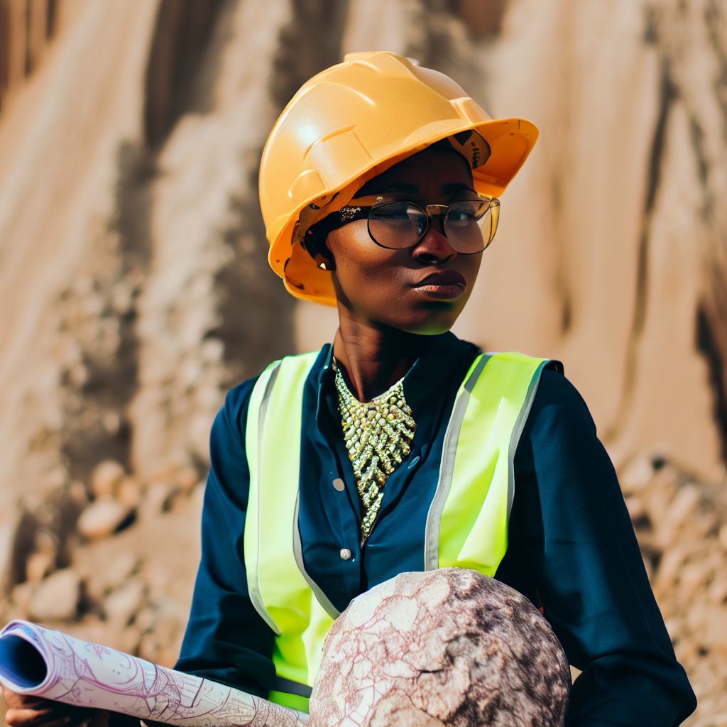
In Nigeria, geologists play a vital role in studying earthquakes and assessing the risks associated with seismic activity.
Explanation of earthquakes and their causes
Earthquakes occur when there is a sudden release of energy in the Earth’s crust.
This energy release is caused by the movement of tectonic plates, which make up the Earth’s surface.
The boundaries where these plates meet are known as fault lines. When the stress along the fault line exceeds the strength of the rocks, it results in an earthquake.
There are three main types of earthquakes: tectonic, volcanic, and human-induced.
Tectonic earthquakes, which are the most common type, occur due to the movement of tectonic plates.
Volcanic earthquakes are associated with volcanic activity, while human-induced earthquakes are caused by human activities such as mining and hydraulic fracturing.
Historical background of earthquakes in Nigeria
Nigeria has a long history of seismic activity, with documented earthquakes dating back to the late 19th century.
The first recorded earthquake occurred in Lagos in 1867, with a magnitude of 6.0. Since then, several significant earthquakes have been documented in various parts of the country.
One of the most destructive earthquakes in Nigeria’s history occurred in 1933 in the town of Akure.
This earthquake, with a magnitude of 6.3, caused extensive damage and loss of life.
Other notable earthquakes include the ones in Ibadan in 1984 and Abuja in 2018.
Analysis of the frequency and intensity of earthquakes in Nigeria
Although Nigeria is not located in a seismically active zone like the Pacific Ring of Fire, it experiences occasional earthquakes of low to moderate intensity.
The frequency and intensity of earthquakes in Nigeria are relatively low compared to other regions prone to seismic activity.
Geologists in Nigeria monitor seismic activity using a network of seismometers strategically placed across the country.
These seismometers enable them to detect and measure earthquakes, providing valuable data for research and risk assessment.
The Nigerian Geological Survey Agency (NGSA) plays a crucial role in analyzing seismic data and disseminating information to relevant stakeholders.
Studying the frequency and intensity of earthquakes is essential for assessing the seismic hazard and implementing appropriate measures to mitigate risks.
Geologists in Nigeria work closely with other stakeholders, including government agencies, to develop effective strategies for earthquake preparedness and response.
Earthquakes are natural phenomena that have shaped the Earth’s surface for millions of years.
In Nigeria, geologists contribute significantly to earthquake studies by explaining the causes of earthquakes, analyzing historical earthquake data, and assessing the frequency and intensity of seismic activity.
Their work is crucial for ensuring the safety and well-being of the Nigerian population in the face of potential earthquake disasters.
Read: Networking Tips for Geologists Working in Nigeria
Role of Geologists in Earthquake Studies
Definition and role of geologists
- Geologists are scientists who study the earth’s solid materials and the processes that shape them.
- They play a crucial role in understanding natural hazards like earthquakes.
- Geologists investigate the causes, patterns, and impacts of earthquakes to improve preparedness and safety.
- They analyze seismic data and geological formations to deepen our understanding of earthquakes.
- Geologists also study the history of earthquakes to predict future occurrences.
Geologists’ involvement in earthquake monitoring and prediction
- Geologists actively monitor seismic activity and collect data using specialized instruments.
- They analyze the data to detect patterns, identify earthquake-prone areas, and assess potential risks.
- Geologists collaborate with seismologists to develop earthquake prediction models and early warning systems.
- By studying fault lines, geologists can assess the likelihood and magnitude of future earthquakes.
- They work with government agencies to create strategies for mitigating earthquake hazards.
Geologists’ contribution to understanding earthquake patterns in Nigeria
- Nigeria experiences seismic activity, particularly in the northern and eastern regions.
- Geologists have conducted extensive research to understand the underlying causes of earthquakes in Nigeria.
- They investigate the tectonic forces and geological structures that contribute to seismic events.
- Geological surveys help identify active fault lines, helping to determine potential earthquake zones.
- By analyzing historical earthquake data, geologists can estimate the recurrence intervals of seismic events.
- Geologists use advanced imaging techniques to create detailed geological maps of earthquake-prone areas.
- Through their studies, geologists contribute to improved building codes and disaster preparedness.
Basically, geologists in Nigeria play a crucial role in earthquake studies, contributing to knowledge and enhancing safety measures.
Read: Famous Nigerian Geologists: Their Work and Contributions
Techniques and Tools Used by Geologists
Description of seismographs and their significance
- Seismographs are instruments used to detect and record earthquakes.
- They consist of a mass suspended from a frame that moves with the ground.
- When an earthquake occurs, the mass remains still while the frame moves, recording seismic waves.
- Seismographs provide valuable data on the location, magnitude, and duration of earthquakes.
- Geologists use this data to understand the behavior of earthquakes and assess their potential impact.
- Seismographs help in monitoring seismic activity and issuing timely warnings to minimize damage.
- Without seismographs, it would be challenging to study earthquakes and their effects.
- These instruments play a crucial role in earthquake research and geology in general.
Computer modeling and simulations in earthquake studies
- Computer modeling and simulations are powerful tools used by geologists to study earthquakes.
- Geologists input data on fault lines, tectonic plate movements, and other relevant factors into computer programs.
- The programs then simulate the behavior of earthquakes based on this data.
- By running multiple simulations, geologists can understand how earthquakes may occur and develop mitigation strategies.
- Computer models allow geologists to simulate different scenarios and test the effectiveness of possible measures.
- Computer modeling has revolutionized earthquake studies by providing insights that were previously unattainable.
- These simulations help in predicting earthquake occurrences, estimating damage, and planning for disaster management.
- It allows for more accurate forecasts and enhances our overall understanding of seismic events.
Importance of GPS technology in monitoring tectonic plate movements
- GPS (Global Positioning System) technology plays a crucial role in studying tectonic plate movements.
- Geologists use GPS receivers to measure the precise location and motion of points on the Earth’s surface.
- Using at least four satellites, the receivers calculate the distances between them and determine accurate positions.
- By tracking these positions over time, geologists can monitor how tectonic plates move and deform.
- GPS technology allows for the detection of even subtle plate movements, helping in earthquake prediction.
- It provides valuable data on strain accumulation, which is crucial for assessing earthquake hazards.
- GPS technology helps in understanding the dynamics of plate tectonics and their impact on seismic activity.
- It enables geologists to identify areas that are more prone to earthquakes and implement appropriate measures.
By using seismographs, computer modeling, simulations, and GPS technology, geologists in Nigeria can better understand earthquakes.
These techniques and tools provide crucial data on seismic activity, aid in earthquake prediction, and help develop strategies for disaster management.
Seismographs, through their ability to detect and record earthquakes, play a vital role in monitoring seismic events and issuing timely warnings.
Computer modeling and simulations allow for the simulation of earthquake behavior and the testing of mitigation measures.
The accuracy and precision of GPS technology enable geologists to monitor tectonic plate movements and analyze their impact on seismic activity.
These techniques and tools contribute to enhancing our knowledge of earthquakes and improving our preparedness for potential disasters.
Read: International Opportunities for Nigerian Geologists

Challenges Faced by Geologists in Nigeria
Lack of proper funding and resources
- Geologists in Nigeria struggle with inadequate funding for earthquake studies.
- Limited financial resources hinder research, data collection, and equipment acquisition.
- Without proper funding, geologists face challenges in conducting comprehensive and accurate studies.
- Insufficient resources hamper the development of effective earthquake mitigation strategies in Nigeria.
- The lack of funds also affects the training and capacity-building of geologists in the country.
Limited awareness and public education about earthquakes
- Geologists in Nigeria face the challenge of limited public awareness and understanding of earthquakes.
- The general population lacks knowledge about earthquake risks and safety measures.
- Limited public education leads to panic, misinformation, and inadequate preparedness during earthquakes.
- Geologists struggle to raise awareness and educate the public about earthquake hazards and safety measures.
- Engaging communities in earthquake preparedness initiatives becomes challenging due to limited awareness.
Difficulties in data collection and analysis
Geologists in Nigeria encounter difficulties in collecting reliable and accurate data on earthquakes.
Limited monitoring stations and equipment hamper data collection and real-time earthquake tracking.
Inadequate seismic networks restrict the ability to precisely locate and characterise earthquakes.
Geologists face challenges in analyzing collected data due to limited access to advanced analytical tools.
5Insufficient data and analysis hinder the development of effective earthquake prediction and mitigation strategies.
Geologists in Nigeria encounter several challenges in earthquake studies.
The lack of proper funding and resources restricts their ability to conduct comprehensive research and develop effective mitigation strategies.
Limited awareness and public education about earthquakes further impact their efforts in engaging communities and promoting safety measures.
Difficulties in data collection and analysis pose additional hurdles in accurately understanding and predicting earthquakes.
Overcoming these challenges requires increased investment in funding, public education, and technological advancements to improve earthquake studies in Nigeria.
Read: Women in Geology: A Focus on the Profession in Nigeria
Gain More Insights: Meet Nigeria’s Top Atmospheric Scientists: A Review
Impact and Benefits of Geologists’ Research
Role in disaster preparedness and mitigation
- Geologists play a crucial role in studying earthquakes to better prepare for future disasters.
- Their research helps in identifying high-risk areas prone to earthquakes.
- Geologists analyze fault lines and seismic activity to understand potential threats.
- This knowledge enables authorities to develop accurate disaster response plans and evacuation strategies.
- By studying earthquakes, geologists also contribute to the development of early warning systems.
Contribution to infrastructure planning and building resilience
- Geologists’ research assists in designing earthquake-resistant structures and infrastructure.
- They provide crucial information about soil conditions and potential ground shaking intensity.
- This knowledge aids engineers and architects in constructing buildings that can withstand earthquakes.
- Geologists also contribute to the development and improvement of building codes and regulations.
- By incorporating their research, cities and communities can enhance their resilience to earthquakes.
Improvement in public safety through earthquake risk assessments
- Geologists conduct thorough earthquake risk assessments to evaluate potential hazards.
- These assessments help in determining the level of risk posed by earthquakes in specific regions.
- By understanding the risks, governments can implement measures to protect public safety.
- Geologists work closely with local authorities to develop emergency response plans and protocols.
- Their research leads to the establishment of effective communication systems during earthquakes.
This section highlights the impact and benefits of geologists’ research in Nigeria with regard to earthquake studies.
Geologists play a significant role in disaster preparedness and mitigation efforts.
Through their research, they identify high-risk areas prone to earthquakes, analyze fault lines, and understand potential threats.
This knowledge is invaluable in developing accurate disaster response plans and evacuation strategies.
Geologists also contribute to the development of early warning systems, providing timely alerts to save lives.
Furthermore, geologists’ research has a direct impact on infrastructure planning and resilience building.
By studying earthquakes, they provide crucial information about soil conditions and potential ground shaking intensity.
This knowledge aids in designing earthquake-resistant structures and infrastructure.
Engineers and architects can utilize this research to construct buildings that can withstand seismic activity.
Geologists also contribute to the development and improvement of building codes and regulations, ensuring the safety of communities.
These assessments evaluate potential hazards and determine the level of risk posed by earthquakes in specific regions.
This information allows governments to implement measures to protect public safety effectively.
Geologists collaborate with local authorities to develop emergency response plans and protocols, ensuring quick and efficient actions during earthquakes.
Their research also leads to the establishment of effective communication systems, enabling real-time information dissemination to the public.
Geologists play a vital role in earthquake studies in Nigeria.
Their research impacts disaster preparedness and mitigation efforts, infrastructure planning, and public safety.
By understanding the risks and utilizing their expertise, geologists contribute significantly to minimizing the impact of earthquakes and protecting lives and infrastructure.
Their work is essential in developing a resilient and earthquake-resistant Nigeria.
Conclusion
Key points discussed
Throughout this blog section, we have explored the important role of geologists in earthquake studies in Nigeria.
We have discovered that these experts play a crucial part in analyzing seismic activities and mitigating the risks associated with earthquakes.
Firstly, we learned that geologists are responsible for conducting research and collecting data on earthquakes.
They study seismic waves, fault lines, and other geological indicators to better understand the nature and causes of earthquakes in Nigeria.
Additionally, we discussed how geologists help in earthquake preparedness and response.
By identifying high-risk areas, developing hazard maps, and providing early warning systems, they contribute to reducing the impact of seismic events on communities.
The crucial role of geologists in earthquake studies
Geologists are the backbone of earthquake studies in Nigeria.
Their expertise and knowledge are essential in predicting, monitoring, and managing earthquake activities.
By studying the Earth’s crust and identifying potential hazards, they strive to protect lives and infrastructure from the devastating effects of earthquakes.
Increased support and investment in earthquake research in Nigeria
To further advance earthquake studies in Nigeria, it is essential to advocate for increased support and investment in this field.
Allocating more resources to research, education, and state-of-the-art technology will enhance our understanding of earthquakes and improve our ability to mitigate their impact.
Geologists play a vital role in earthquake studies in Nigeria.
Their expertise and contributions are crucial for effective earthquake preparedness, response, and risk reduction.
By investing in earthquake research, we can better protect our communities and ensure a safer future for all.